


Parcours à Hoscheid

Thomas Nelissen
User


Length
13.2 km

Max alt
493 m

Uphill gradient
578 m
Km-Effort
21 km

Min alt
260 m

Downhill gradient
578 m
Boucle
Yes
Creation date :
2020-12-09 15:35:48.92
Updated on :
2020-12-09 15:56:51.737
4h18
Difficulty : Difficult

FREE GPS app for hiking
 SityTrail
IGN / Geographical institutes
SityTrail Plus
The world is yours!
About
Trail Walking of 13.2 km to be discovered at Unknown, Canton Clervaux, Parc Hosingen. This trail is proposed by Thomas Nelissen.
Description
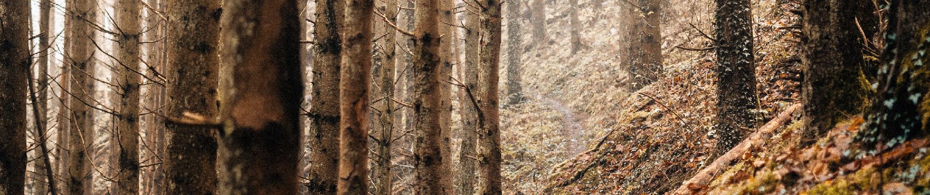
Passage par la magnifique crête rocheuse du Moberlee et descente dans la vallée de la Schlënner.
Photos


Points of interest


Positioning
Country:
Luxembourg
Region :
Unknown
Department/Province :
Canton Clervaux
Municipality :
Parc Hosingen
Location:
Unknown
Start:(Dec)
Start:(UTM)
290491 ; 5536710 (32U) N.
Comments